Excavations that started 116 years ago in the ancient city of Hattusa, once the capital of the Hittite Empire and inscribed on the “Memory of the World List” of UNESCO, are still ongoing.
The ancient city in the Boğazkale district of the Central Anatolian province of Çorum, which is home to the cultural heritage of Hatti and Hittites, one of the first civilizations of Anatolia, is among Türkiye’s favorite tourism centers.
Home to the lion’s gate, the king’s gate and the Yazılıkaya Open Air Temple, which represent a unique artistic achievement, Hattusha was included in the “World Heritage List” by UNESCO on Nov. 28, 1986. It is the only witness of the destroyed Hittite civilization, and some structures and architectural ensembles consisting of the king’s palace, temples and foundations have been perfectly preserved.
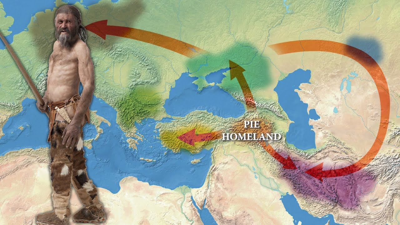
Hattusha, which was also included in UNESCO’s “Memory of the World List” in 2001, as it contains cuneiform tablet archives representing the oldest known Indo-European language, has the title of the only ancient city in both lists of UNESCO.
Professor Andreas Schachner, the head of excavations working on behalf of the German Archaeological Institute, stated that this year’s excavations in the ancient city of Hattusa started at the end of June and that they plan to continue the work until mid-October.
Stating that the restoration works continue along with the archaeological excavations, Schachner said: “Currently, we have 104 workers and three archaeological personnel. Hittites is the first thing that come to the mind when Boğazköy is mentioned. We continue working both in the lower city, in the western part of the upper city, and on the northern slope of the Great Castle.”
“But we cannot say anything definite yet. The surface soil has just been removed. We see new structures. It will become clear with time. There is no extraordinary invention. Let’s see what time will tell,” Schachner added.