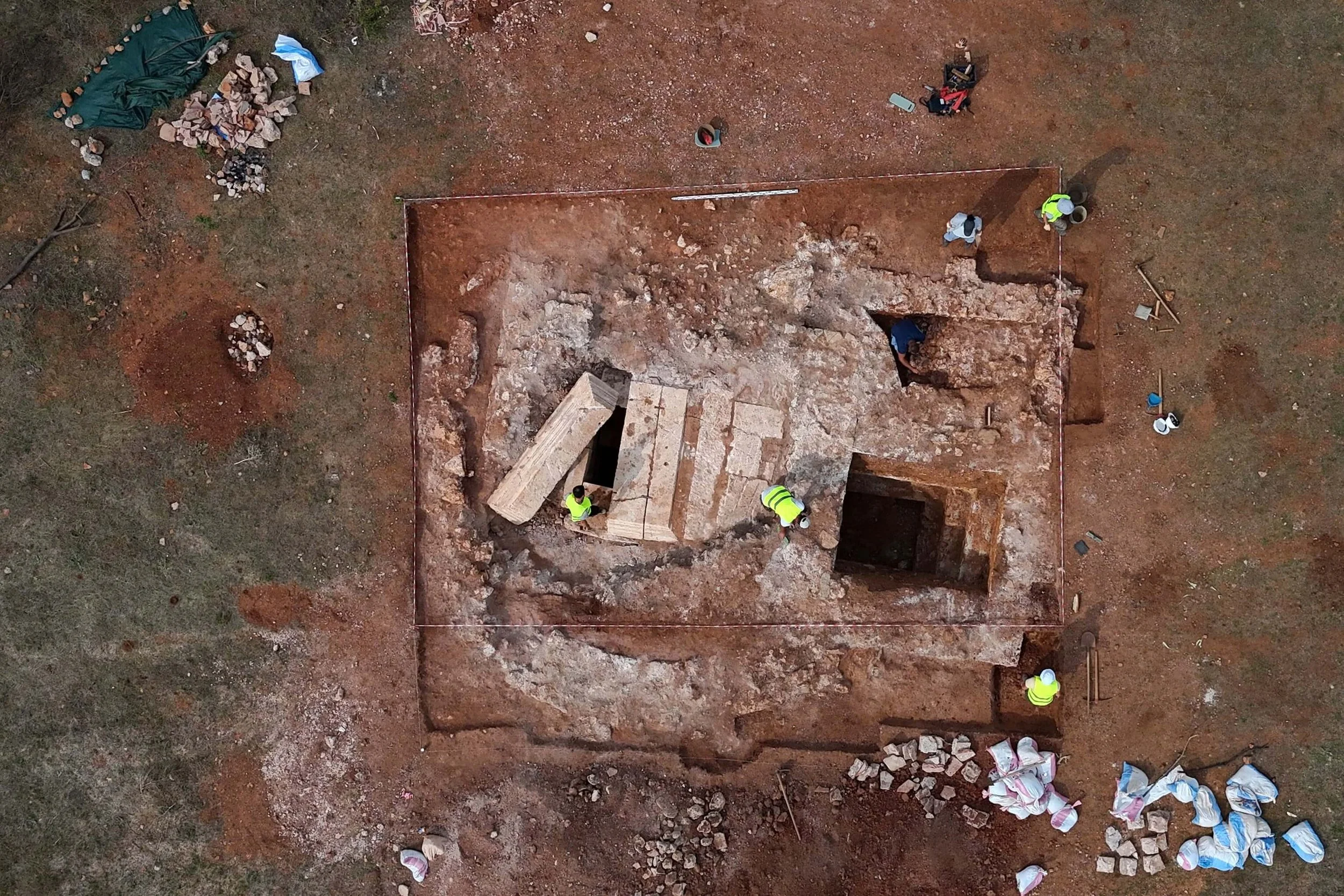
Recent advances in aerial photoarchaeology have uncovered traces of a Viking Age settlement near Naur Church, close to Holstebro, Denmark. This discovery, part of a larger effort to map Denmark’s historical landscape, highlights the immense potential of using airborne technologies to reveal cultural heritage sites that have long remained invisible.
Pioneering Aerial Photoarchaeology in Denmark
Aerial photoarchaeology has become a vital tool for uncovering traces of Denmark's ancient past, providing a perspective from above that ground-based archaeology cannot offer. Archaeologists Lis Helles Olesen from Holstebro Museum and Esben Schlosser Mauritsen from Ringkøbing-Skjern Museum have been at the forefront of this innovative approach. Together, they recently published Aerial Photoarchaeology in Denmark, documenting the results of extensive aerial surveys conducted between 2008 and 2012.
The team dedicated 220 hours of flight time, covering 745 locations, primarily focusing on crop marks—changes in vegetation patterns caused by buried archaeological features. Their findings were remarkable: 84 percent of the identified features were previously unknown, a testament to the potential of aerial photoarchaeology to transform our understanding of Denmark’s past. Their surveys covered large swaths of western and southern Jutland, extending into Himmerland, Salling, and northern Funen.
Technological Advances in Aerial Archaeology
Aerial archaeology has developed rapidly in recent years, particularly with the integration of advanced technologies such as multispectral imaging, laser scanning, drones, and magnetometry. Multispectral imaging, for example, allows researchers to detect subtle differences in vegetation that may indicate buried structures, while laser scanning (LiDAR) can penetrate forest canopies to reveal landscape features hidden to the naked eye.

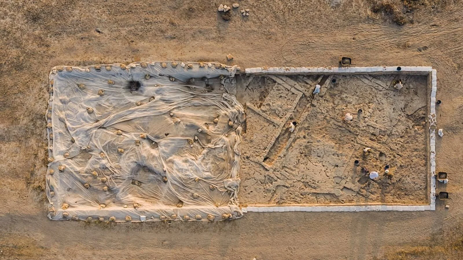
Traces of a Viking Age settlement at Naur Church near Holstebro. The round dark green spots are traces of buried work huts. Photos: from the book
Olesen emphasizes the importance of continuing to push the boundaries of these techniques in Denmark, noting that significant advancements are already taking place internationally. Among the more promising developments are the use of green laser technologies, which can even penetrate clear water, opening up new possibilities for uncovering underwater archaeological sites.
Mapping Cultural Heritage from the Sky
Olesen and Mauritsen argue that aerial photoarchaeology holds the key to better preserving Denmark’s cultural heritage. They recommend the continued prioritization of this method, combined with the study of existing aerial photographs, laser scans, and geophysical methods, to provide a more comprehensive understanding of Denmark’s prehistory. By mapping archaeological sites from above, researchers can gain insight into ancient settlements, burial sites, and agricultural practices that might otherwise go unnoticed.
Financial and Societal Implications
Despite its promising results, aerial photoarchaeology faces financial challenges. Olesen points out that the current system of financing Danish archaeology limits the potential for method development and broader studies. Most archaeological funding is allocated for specific excavations, leaving little room for the development of new techniques or the publication of findings.
Olesen proposes a new funding model: instead of builders paying for individual excavations on construction sites, a small percentage of construction costs could be allocated to an archaeological fund. This fund could then be used to finance large-scale surveys, develop new technologies, and ensure the publication of findings, making archaeological research more sustainable and widely accessible.

Trelleborg type house (Fyrkat), photo by Esben Schlosser Mauritsen
A Legacy of Aerial Archaeology
The recent discoveries at Naur Church build on Denmark’s longstanding tradition of aerial archaeology. In 2002, Olesen and her husband, Palle Eriksen, published Fortiden set fra himlen (The Past Seen from the Sky), the first Danish book on aerial archaeology. This work helped establish connections with international experts and cemented Denmark’s place in the global archaeological community. The current project is now recognized as a national undertaking and forms part of the broader EU-funded ArchaeoLandscapes Europe initiative.
The project owes much to early pioneers like museum inspector Hans Stiesdal of the National Museum, who was the first in Denmark to seriously engage with aerial archaeology, even obtaining a pilot’s license to pursue this research. Stiesdal’s legacy lives on as today’s archaeologists continue to uncover traces of Denmark’s ancient past from the skies.
Traces of the Past, Seen from the Skies
The ability to soar above the landscape offers archaeologists a unique view of the traces left by ancient peoples. Flying over a golden cornfield, one might spot the outlines of Iron Age longhouses, ancient wells, and the remnants of fences that once enclosed bustling farmsteads. These traces, long hidden beneath the surface, emerge as warm reminders of the communities that once thrived in Denmark.
As Olesen and Mauritsen put it, “When we rise above the ground, we can see the traces of our ancestors' behavior. With our images, the hidden cultural heritage becomes visible, and we also get the opportunity to preserve it for posterity.” Their work opens a new chapter in Danish archaeology, inviting curious readers and fellow researchers into the cockpit to witness firsthand the transformative power of aerial photoarchaeology.
With the continued development of these airborne methods and the expansion of archaeological mapping efforts, the future of Denmark’s cultural heritage is set to be better understood, preserved, and appreciated by generations to come.